A ‘super’ El Niño appears to be emerging. What’s the big deal?
It could bring 'shockingly high' temperatures in November and December
The sea surface in the eastern tropical Pacific warmed from January 1 through June 8 (relative to average temps). Red and orange indicate warmer waters. Climate scientists use these types of data to gauge how strong the natural weather pattern known as El Niño will become.
NOAA
This is a human-written story voiced by AI. Got feedback? Take our survey . (See our AI policy here .)
Climate scientists are warning us to buckle up for a bumpy ride. An El Niño has begun. By year’s end, this periodic climate event might become the strongest El Niño on record.
An El Niño Southern Oscillation, or ENSO, is a recurring two- to seven-year ocean-climate pattern. On June 11, the U.S. National Oceanic and Atmospheric Administration confirmed Earth has officially entered the El Niño phase of this cycle.
El Niño events emerge in the Eastern Pacific. Eventually, the changes in climate they spawn will affect weather globally. And the stronger an El Niño, the more costly it can be to human health, farming, buildings and our wallets.
Forecasters currently predict a 63 percent chance that, by winter, the new El Niño will prove very strong — as in a “super El Niño.”
Here are four things to know as this climate pattern takes hold.
What’s an El Niño?
An ENSO’s several-years-long cycle has three phases.
The first, known as El Niño, involves months of warmer than normal sea-surface temperatures in the eastern equatorial Pacific. Back in the 1600s, fishers in Peru noticed this warming tended to show up around Christmas. So they dubbed it “El Niño,” which is Spanish for “little boy.” It’s also the name given to “the Christ child.”
A second phase — La Niña (or little girl) — swings to cooler than normal temps in those eastern Pacific waters near the equator.
The last is a neutral, in-between phase. It brings average temperatures back to the Pacific’s equatorial sea surface.
The “Southern Oscillation” part of ENSO’s name refers to another seesawing pattern. Here the swings are between areas of high and low atmospheric pressure over the eastern versus western Pacific Ocean. That up-and-down pressure pattern triggers global-scale changes in winds, air temps and precipitation.
Scientists track ENSO air-pressure changes at two main stations. One is in the West Pacific at Darwin, Australia. The other is in the East Pacific at Tahiti (part of French Polynesia).
During neutral periods and La Niña phases, the high-pressure zone is in the east. That sends prevailing winds westward across the Pacific around the equator. These winds push the warming surface waters of the Pacific to the west. This keeps them away from the coast of the Americas.
In so doing, it allows cold, nutrient-rich water to well up from the deep ocean. That keeps the eastern equatorial Pacific waters cold.
But every few years, conditions flip. Now high pressure prevails over the western Pacific, and lower pressure over the eastern Pacific.
This weakens or even reverses the direction of the prevailing winds. It also allows warm surface waters to stay in place. This suppresses the upwelling of cold water. Now sea-surface temps warm rapidly in the eastern Pacific. This also serves as a telltale sign an El Niño is back.
No two El Niño events are exactly alike, says Tom Di Liberto. He’s a climate scientist and meteorologist now working for the nonprofit news group Climate Central. It’s based in Washington, D.C.
But each El Niño transfers huge amounts of heat from tropical Pacific waters into the air. That bonus heat can temporarily — and dramatically — boost air temperatures around the globe.
Do you have a science question? We can help!
Submit your question here, and we might answer it an upcoming issue of Science News Explores
What makes for a “super” El Niño?
An El Niño officially starts when sea-surface temperatures in the eastern equatorial Pacific Ocean steadily remain at least 0.5 degree Celsius (0.9 degree Fahrenheit) above average for several months. The warmer the waters, the stronger an El Niño’s likely global impacts.
Waters warmer than 2 degrees C (3.6 degrees F) above average signal the emergence of a very strong — or “super” — El Niño.
Since April, temps over the eastern equatorial Pacific Ocean have remained well above average. Dozens of forecasters around the world concluded an El Niño was on its way. By June, as the ocean warmed even more, their forecasts began to warn that this could prove a really powerful event.
Recently, climate change has made detecting an El Niño’s onset and strength more difficult. Why? Global temperatures have been warming steadily over the last decade, which can mask an emerging El Niño. So in May, NOAA’s Climate Prediction Center adopted a new tool for its El Niño forecasts. This now adjusts for that climate change–related warming.
Using this new tool, NOAA predicts that this winter, sea-surface temps in the eastern tropical Pacific are 63 percent likely to be more than 2 degrees Celsius higher than average. That’s what suggests a super El Niño is developing.
In fact, computer models are now forecasting “shockingly high” global temperatures for November and December, Di Liberto says.
Such heat can have deadly consequences. A rise in heat-related illnesses is one. Another is upticks in diseases (such as cholera, typhoid and malaria) carried by mosquitoes and other pests that like it hot.
El Niños also alter the track of the Pacific jet stream. The result: Some areas will become drier than normal. Others will get wetter.
For the United States, one of the most significant impacts will likely be more numerous and intense Pacific cyclones. At the same time, changing wind patterns can make it harder for Atlantic hurricanes to form.
Fortunately, the life of any one El Niño is relatively short: Events typically form in the summer, strengthen into the winter, then die out the next spring.
How will this year compare to past major El Niños?
The most recent strong El Niños happened in 2015–16, 1997–98 and 1982–83.
The 1997–98 event was the strongest on record. It temporarily raised average global temps by 1.5 degrees Celsius (2.7 degrees Fahrenheit) and triggered devastating weather events.
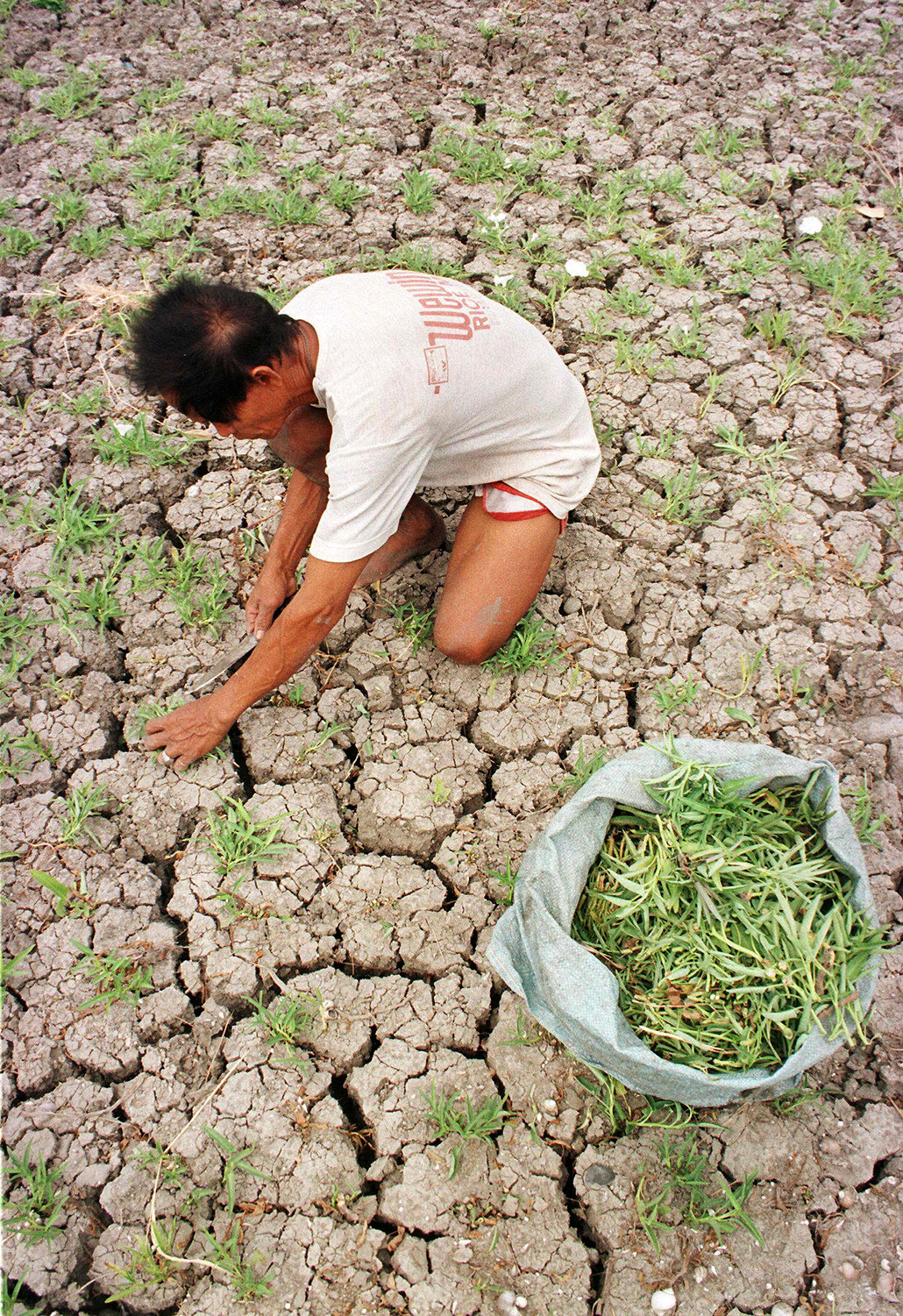
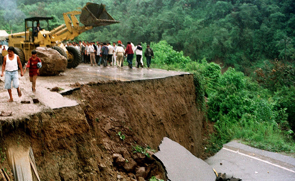
These included torrential rains and floods in Peru and East Africa. Those, in turn, triggered an outbreak of Rift Valley Fever in Africa. Droughts in Southeast Asia kicked off deadly wildfires. California saw powerful storms that brought major flooding and landslides. Soaring ocean temperatures led to the bleaching of about one-sixth of the world’s coral reefs.
Such strong El Niños are costly, too. The 1982–83 one cost the world an estimated $4.1 billion. The 1997–98 event was estimated to cost about $5.7 trillion.
How bad this year’s event will be is still unclear. But it’s occurring on top of strong global warming from human activities. And even if this year’s turns out to be only moderately strong, Di Liberto says, its impacts could still be very big. “It would not take a very strong El Niño to see records broken this year.”
Is there a way to downgrade this El Niño?
People might be able to weaken future El Niños by injecting small smoke-size particles into the atmosphere. That’s the finding of an analysis in the July 10 Science Advances.
To work, these aerosols would have to be targeted over a particular patch of the Pacific Ocean. This should increase and brighten clouds there, a new computer model finds. And that would reflect more of the sun’s warming light back into space, cooling the climate.
The idea for this was sparked by the 2019–20 Australian wildfires, says Jessica Wan. She’s a climate scientist at the University of Chicago in Illinois. Those fires spewed huge billows of particles into the air. Plumes of them wafted over the southeastern subtropical Pacific Ocean. This brightened clouds there — and helped trigger a multiyear La Niña.
This natural “experiment” hinted at how altering clouds in the proper region can change large climate patterns, says Wan. Her team’s computer model has now calculated what would happen if people injected a huge quantity of aerosols into the atmosphere (as the wildfires had). This should weaken an El Niño. But how much weaker it got would depend on when the injection took place, the model finds. The strategy seemed to work best when done early in an El Niño.
This idea “is really interesting and very new,” says Daniele Visioni. He’s a climate scientist at Cornell University in Ithaca, N.Y. who did not take part in this new study. To him, “the fact that it looks like this could work is a really good indication that it is something worth thinking about.”
But it’s not a strategy that could work for this year’s El Niño. There are too many big questions to answer first, Wan says. For one thing, the technology to inject particles is years from being ready. Plus, there needs to be more study about the possible negative consequences of injecting aerosol particles.